
Pane to Seattle
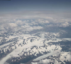
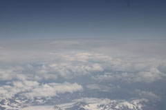
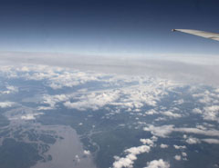
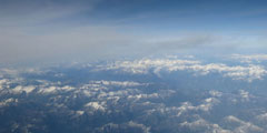
That would have been the end of the trip and the pictures. The next day you take a three hour bus ride e to Anchorage and fly the four hours from there to Seattle. But, if you can, sit on the left side of the plane. If the weather clears you will fly over some of the tallest mountains and largest glaciers in North America. We did and got lucky. Pictures really don’t do this justice (much less pictures our a dirty and scratched airplane window).
It took a while but I was finally able to find the exact spot a couple of the photos were taken by using Google Maps. It took a couple hours and was much harder than I thought, but was an interesting exercise. If you want to try, bring up Google Maps and imagine a flight path from Anchorage to Seattle that follows the coast. Pictures 1 and 3 are the best landmarks.
1. Chugach National Forest, 60.55 by -145.19
2. Chugach National Forest, Run off and Delta from Miles lake
3. Chugach National Forest, Miles Glacier
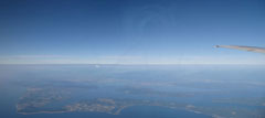
6. North of Seattle, Over Penn Cove and looking at what I think is Mt Baker
 1 |
 2 |
 3 |
 4 |
 5 |
 6 |
