
Guys Trip August 2011
Just show me the Best Pictures The Best
Pictures and Descriptions. (Scroll Down)
I want to take this trip, what details should I know? Details and Trip Planning
A trip to the Rockies with the Guys from College. The last of us turned 40 this year, and we realized we had not taken a trip together since College 15-20 years ago. This seemed like a great time to remedy that. 5 days, no wives, no kids. We even managed to look up the 5th "honorary guy" Julie for lunch in Boulder on the way. We found the biggest day hikes we thought we could tackle and had an absolute blast. Here's to hoping we can do it again in a couple years.
With four guys and four cameras, we had plenty of pictures. I can't claim credit for all the pictures on this page and stole from everyone else's pictures when I thought they were better. This even means I got myself in a couple for a change. Thanks in advance!
Note: On the hikes below I have links to both the GPS trace from the Garmin and Run Keeper websites. Unfortunately there is no 'perfect' site. Garmin has the best laps, average times, and profiles, but Runkeeper uses Google Maps. Adjust the Map to full screen and change the view to terrain for the best veiw.
Odds and ends
Flattop Mountain
Trail Ridge Road
Emerald and Haiyaha Lakes
Gem Lake
Odds and Ends
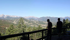
The view from our deck at the Sponsel rental house. The place had an absolute killer veiw from the deck and a highlight of the trip for me was breakfast on the deck looking at the mountians.
1-3. View from the Deck
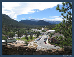
4. Estes Park
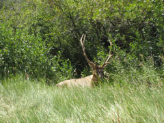
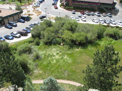
5-6. How do you hide an 8' tall Elk in the middle of downtown? Behind a little bush of course.
7. The 5th Musketeer, Julie our "Honorary Guy" was able to meet us for lunch in Boulder.
 1 |
 2 |
 3 |
 4 |
 5 |
 6 |
 7 |
Flattop Mountain
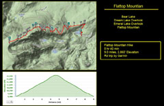
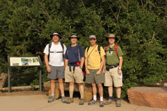
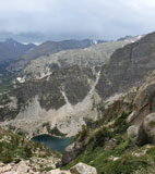
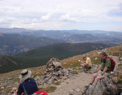
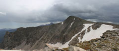
The big Hike of the trip. Since most none of the other guys in the group had been hiking in Colorado it was difficult to find a big hike that would be a challenge but to much. In the end I figured bigger was better and it's a Guys trip, go for it. This is considered the highest day hike in the park, and it lived up to it's stats.
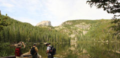
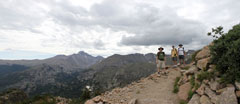
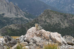
I think this had it all. You start in the woods and the trail climbs right out of the treeline. There are a couple of scenic views where you can look down at Nymph and Emerald Lakes and get a perspective on just how high you have climbed. The second half of the trip is above the treeline and in the tundra and you have pika's (think mountain gunne pigs) and marmots (think mountain beaver) to keep you company.
9.0 Miles roundtrip, 2,860' Elevation
Garmin Run Keeper
 1 |
 2 |
 3 |
 4 |
 5 |
 6 |
 7 |
 8 |
 9 |
 10 |
 11 |
 12 |
 13 |
 14 |
 15 |
Trail Ridge Road
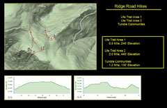
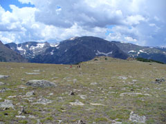
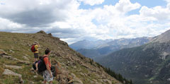
Trail Ridge Road is the scenic road straight over the mountians. It's claim to fame is in being the higgest highest continuous highway in the United States topping 12,000'. It would be hard to find a better scenic drive, but what is really great is that it allows easy access to some incredible hikes in the alpine tundra. Definately don't miss the oportunity to get out of the car some and wander about.
About 3 miles total round trip and 700' Elevation
Garmin 1 Garmin 2 Run Keeper
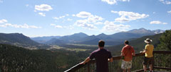
2. Many Parks Curve Lookout
3. Rainbow Curve Lookut
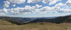
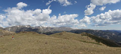
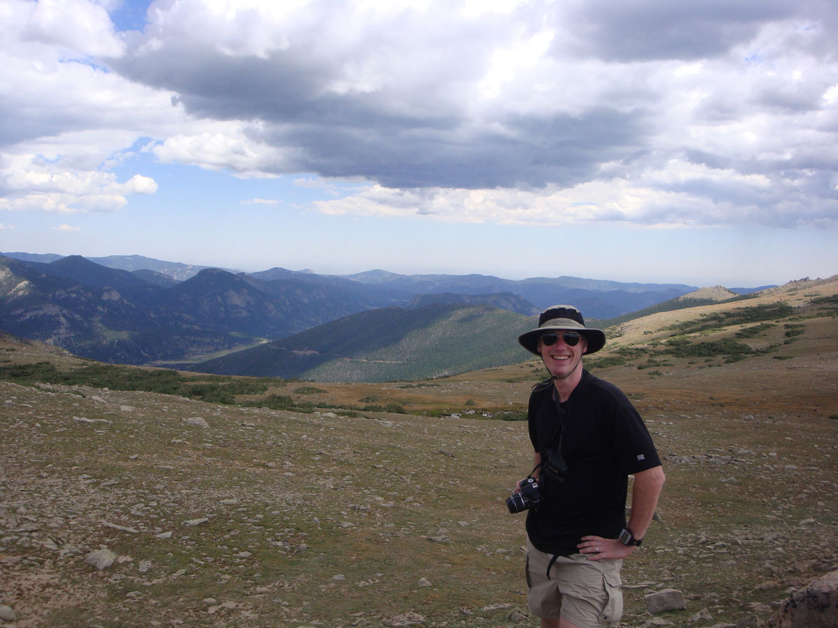
4-8. An un-offical hike. There is an un-named parking area just before the UTE Trail lot
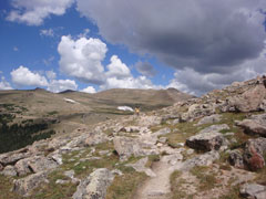
9-10. The UTE Trail
11-12. The top of the world. Climb the rocks on Tombestone Ridge
13-15. Get off the trail and see whats at the edge
 1 |
 2 |
 3 |
 4 |
 5 |
 6 |
 7 |
 8 |
 9 |
 10 |
 11 |
 12 |
 13 |
 14 |
 15 |
Emerald and Haiyaha Lakes
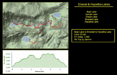
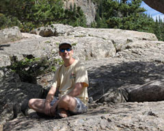
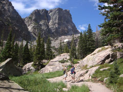
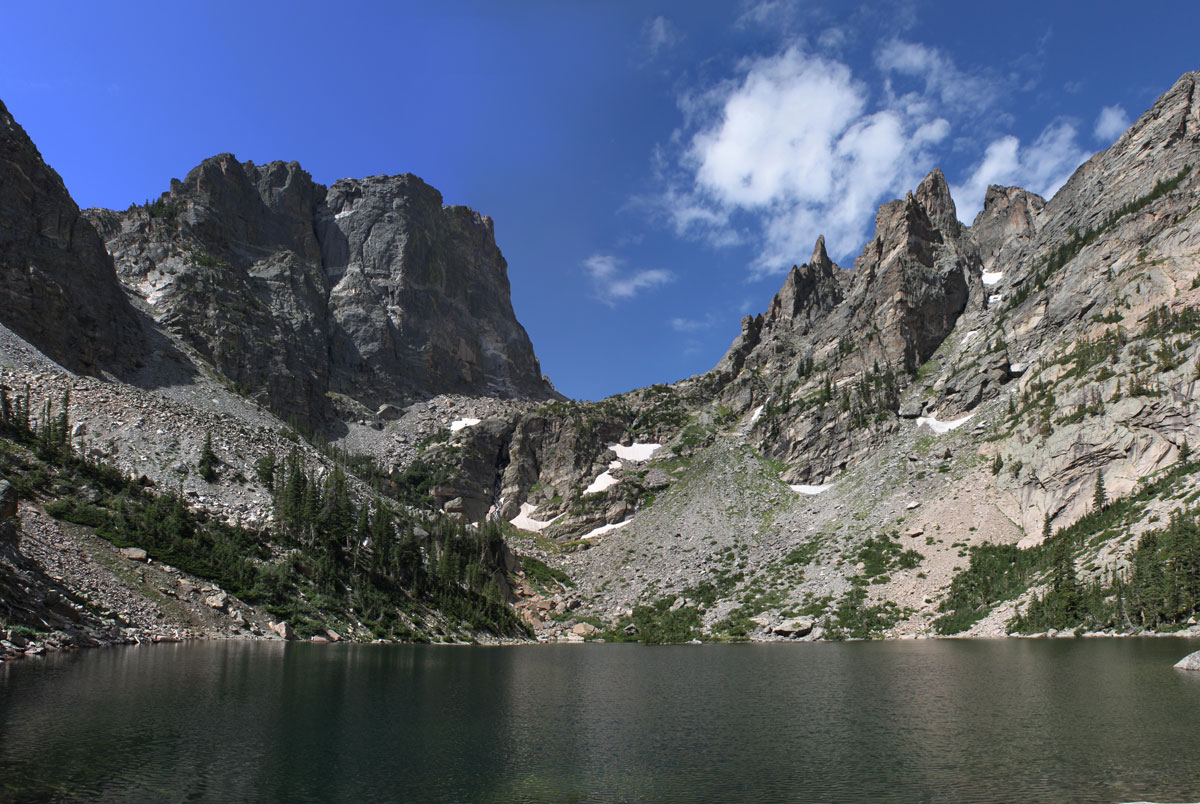
The "Nymph, Dream, and Emerald Lake" hike is probably the most popular in the park and with good reason. Not very difficult, not to far, and and just enough elevation gain to make you feel you've worked for it. All of this combined with an absolutely outstanding view of Emerald Lake makes it a winner.
5.7 Miles roundtrip, 1,300' Elevation
Garmin Run Keeper
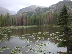
2. A unique shot of Bear Lake thanks to Kevin.
3. Someday I'll learn how to properly shoot a backlite shot, but not this time.
3. The Wind stopped just long enough for some good reflections.
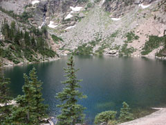
8-9. Emerald Lake. This is the lake from the Flattop Mountain pictures above
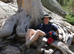
10. Nothing like bucket seats after a long walk
11. Glenn has no fear of heights. The picture really doesn't do it justice
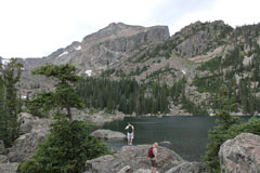
12. Lake Haiyaha
 1 |
 2 |
 3 |
 4 |
 5 |
 6 |
 7 |
 8 |
 9 |
 10 |
 11 |
 12 |
Gem Lake and the Lumpy Ridge
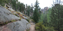
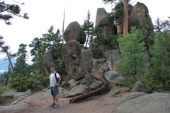
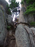
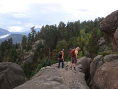
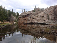
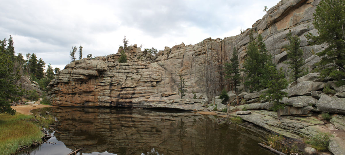
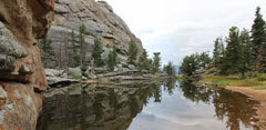
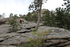
Gem Lake is a much smaller lake in a different section of the park. It's overlooked by many but I would suggest it. We almost didn't do this hike as we were traveling that day, but everyone got a second wind and we figured we should if we had the time. I'm glad we did. The area is called the "Lumpy ridge" and a quick look at the pictures show why. The scenery is so different from that of the Bear Lake and Ridge Road Areas that would think you were in a different park all together.
The lake is very shallow and mostly protected from the wind both of which make great shots of the cliffs reflecting off the water.
3.3 Miles roundtrip, 1,100' Elevation
Garmin Run Keeper
 1 |
 2 |
 3 |
 4 |
 5 |
 6 |
 7 |
 8 |
 9 |
 10 |
 11 |
 12 |
